On June 28, Ellen, Sean & I in Marion got up early and 11 hours later we arrived in Buchanan, VA where Tim, who had to walk 4 1/2 miles from the trail, had already checked into our motel. Out for dinner that evening and breakfast the following morning and we were at the trailhead on Jennings Creek Rd at Panther Ford by 10:30 am, packs on and ready to go.Panther Ford was so named because supposedly a young woman and her son were killed there by a mountain lion in the early 1800's. There aren't any mountain lions around here any more so we felt safe to go.

We have hiked together on a number of occasions and usually the boys start off at a faster pace, then stop up the trail and wait for me to catch up. The trail started right up the hill, without any easy, level, warm up section. It was hot and very humid , it took me a while to get going and I was completely drenched in sweat in less than 15 minutes. Fork Mountain was our first climb going up from 951 feet elevation at the road to 2042 feet at the top in about 1.5 miles. Then down the other side to an elevation of about 1,100 and then up 250 feet to the shelter at Bryant Ridge. Fork Mountain was relatively easy, in that we hiked to the top and then hiked down. The next mountain, Floyd, was not as easy. There were more ups and downs on the way to the top. Tim calls them PUDS, (Pointless up and downs). Bryant Ridge Shelter below Fork Mountain was a 3 decker capable of sleeping 16 people, complete with pegs for stuff and hooks for packs. It was really some nice, especially for someone who had never seen a shelter before. Our leader also confirmed that it was one of the nicest he had seen.

We arrived at the shelter separately, with Sean the first in. When I came up the small hill to the shelter Sean was bandaging up some cuts. He had spotted the shelter as he was coming down the trail and took a shortcut up to it, but in doing so he walked into a Black snake on a ledge and while attempting to avoid the snake had fallen back down the hill. I am not afraid of snakes, but this one was really huge, at least 4" in diameter and probably close to 6 feet long. It must have just had a meal and was resting in the sun. We laid our wet clothes out on the picnic table and had lunch inside in the shade. Then around 2 pm off again and up Floyd Mountain which was 3,560 feet high and 4+ miles away. There were times going up Floyd when I wondered why I thought that this was a good idea, but eventually with some help from Tim, who came back and carried my pack for a while, I made it to the top. There are not a lot of views at the top of these hills. The only way you can tell you are there is by looking around and making sure that the sky is not blocked by trees. False summits are a pain. A number of times we arrived at what seemed to be the top of the hill only to realize that we could only see 3 quarters of the way around. Then you go down into a little notch and start back up again. From the top of Floyd we descended 400 feet to the Cornelius Creek Shelter, arriving after 7:30 pm having hiked about 8 miles. . This was a much smaller shelter than the Bryant Ridge and it only slept 8. There was one other hiker there who called himself "Tabasco" . Tim allowed how this was about the third person with this trail name, but he did not know him. Tabasco slept in a hammock like Tim's, and because it was late and no one else was there Tim and Sean elected to sleep in the shelter. I however set up my hammock in the woods behind the shelter. Tim uses a Hennessey which you climb into thru a slit in the bottom, that closes up with Velcro after you get in. I bought a Clark Jungle Hammock that allows you to get in conventionally and with bug net that zips up. The bug net on the Hennessey is attached directly to the hammock, always in place. I went the hammock way, because I did not want to sleep on the hard ground in a tent or on the boards of a shelter. There aren't any beds in the shelters.
|
| "Packing up at Cornelius Creek Shelter" |
The shelters are 3 sided affairs, with wooden floors. Lay down your pad to mark your space and put down your sleeping bag. Too hard for my old bones. If we had, had rain I probably would have changed my mind, but the weather stayed dry, so I slept out for 3 nights. We cooked up dinners and then packed it in for the evening.
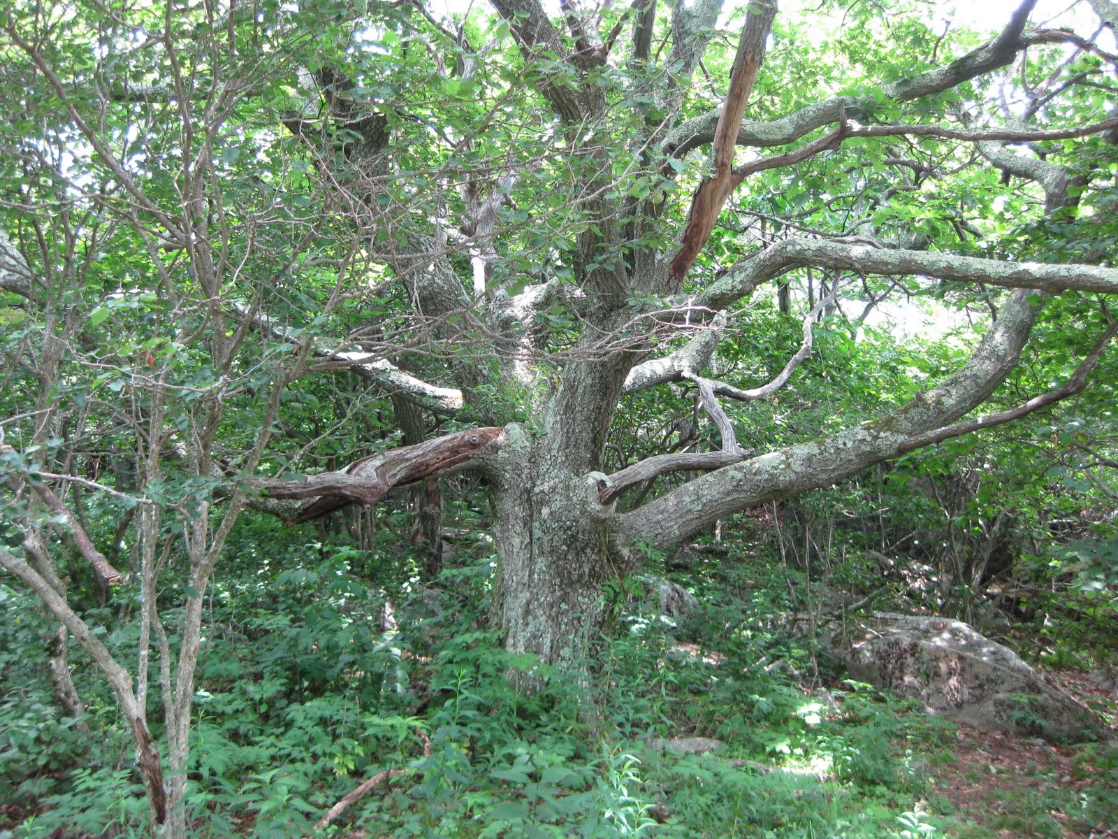
The next morning we were up around 8, breakfasted and packed and ready to go around 10 am. This was the earliest we got off in the next couple of days. Thursday and Friday we were back to 10:30 departure times. We only did 5 miles on Wednesday, up and over the highest peak between Virginia and New Hampshire, Apple Orchard Mountain.There were no apples on the mountain just a radar dome for FAA flight control. The early settlers thought that the stunted Red Oak trees were Apple trees. The Oak trees are still there. After a rest and lunch on the grass in front of the Radar dome we started down hill towards Petites Gap. After the trail entered the woods it descended over 100 stone steps to the Guillotine, a suspended boulder and then continued on to Thunder Hill Shelter were we spent the night camped out behind it, Sean in his tent and Tim & I in our hammocks. For dinner Sean made Salmon cakes that were absolutely delicious.
|
"I thought it was an Apple Tree"
|
|
"Sean setting up his tent at Thunder Hill. Bear bag can be seen hanging in tree upper left" |
|
"Looking at Tim's Hammock from mine" |
Thursday we hiked around 7 miles. Apple Orchard Mountain was the highest point on our hike and from there it was down hill to the James River foot bridge. However in between there were few more of those PUDS, the worst being High Cock Knob at 3073 feet, with 3 false summits. Sean & Tim stayed and read their books on Thunder Ridge and I got to head off first for a while. I was making good time down hill, across Petites Gap road and had just started up High Cock Knob when they caught up with me and passed. They were surprised how far along I had gotten. I tried to keep up with them,but was not able to and went back to my slow uphill pace. Tim came back and helped me up over the second false summit and told me that the top was just a short climb away. we first had to go down to a notch before resuming our climb. This notch is called Archie's Notch after Archibald "Bear" Tolley, who was a bear hunter in the 1800's and had a cabin nearby. He had 2 pet roosters who crowed from a tall oak on the top of the promontory. We found Sean wedged between a couple of rocks at the top reading and resting.and left him there as we headed down to Marble Springs Campground where we made camp for the evening.

Tim told us the following morning that a huge bear walked around the campground, but I never saw or heard him. I did keep everyone up for a while trying to get my hammock adjusted. The next day, although long, it was all down hill with plenty of good views and a nice stop for lunch before we crossed the James River on the longest footbridge on the AT.


We had planned on spending one more night camping, but decided after crossing the bridge that we had done enough and then ran into a little problem of calling Ellen for a pick up. Even with 3 separate carriers none of us had cell phone coverage. Tim managed to get a ride headed for a phone at a gas station in Big Island, and on top of a hill on the way they picked up reception and he made contact with Ellen and we were headed for dinner and beds with air conditioning. Tim slackpacked,(Ellen dropped him off where she had picked us up on Friday with just water and snacks), Saturday for 12 miles. We picked him up around 1pm, came back to the motel for some more rest and then Sunday morning we set him off again on the trail, before we drove home.